
The Ruahine Ranges lie in the North Island, part of the "spine" of mountain ranges running from the high and majestic Southern Alps through the lower North Island Tararua's, and the Kawekas north of the Ruahines. Seperated only by the Manawatu river in the south, and the Taruarau river in the north this spine of mountains was at one time the original land mass poking above the sea, with the volcanic Rim of Fire creating the even now erupting Ruapehu, Tongariro, and Ngarahoe, Taranaki having been banished to the south by an angry Maori god. Geologically young, having emerged during the Pleistocene period to their full current height two million to ten thousand years ago and still rising "rapidly" at up to 5 millimeters per year.
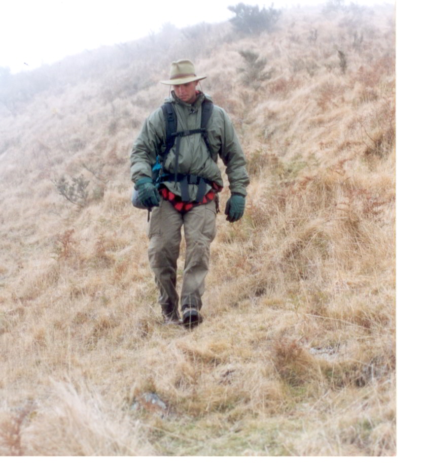
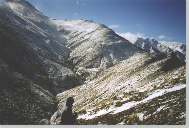
They are a relatively narrow range of mountains 25 kilometers acroos at its widest point by 90 killometers long and made up of 5 seperate ranges of mountains, the main Ruahine range and the subsidary Mokai Patea, Hikurangi, Whanahuia, and Ngamoko ranges. The highest point is in the Hikirangi's, at Mangaweka 1733 meters. Within the Ruahines lies a diverse natural wilderness with mountain tussock rolling tops, craggy peaks, alpine tarns and flowers, high ridge beech forests, lowland rain forests, deep and hidden gorges, waterfalls, and crystal clear mountain rivers, a steep and rugged place to wander about..
The tangata whenua, or Maori, have a special and influential relationship with the ranges. The ridges, streams, rivers, and peaks all have Maori names given to them, some which relate to the traditional homeland Hawaiiki, others which relate to past incidents or physical features.
A number of tribes have long associations with the Ruahines. The hapu, or sub tribes, of Ngati Kahunguru, Rangitane, Ngati Apa, and Ngau Tahu lived on the plains and foothills surrounding the ranges. While not living permanently within the ranges they were instead a place of refuge during times of war, and more importantly, a place of mahingi kai, or food. The forests and rivers provided berries, birds, fish and kiore, the Polynesian rat. Lake Colenso, pictured in this blog, provided Kokopunui, or native trout.
While the "first" crossing of the ranges is credited to William Colenso, a Hawkes Bay missionary, in 1848, it must be noted he was guided by Maori and traveled along a series of rough routes, clearly indicating the Maori had crossed the ranges prior to that time.
I will include more historical information as I progress, but thus ends our lesson. Sorry for the relatively boring text, but is essential to the journey.


No comments:
Post a Comment